Final Project – Risks Associated with Fire Activity in the Cariboo Region, 2017

GEOB 270 - Term Project:

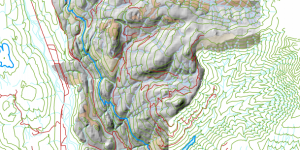
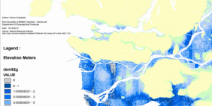
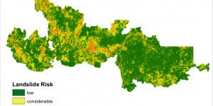
Under current human and climate pressures, forest fires are becoming more and more severe and difficult to contain. Even after a fire is controlled, changes in forest cover, ground-surface conditions, and hydrologic processes can lead to ongoing risks downslope of the burned area. in our report, we assessed the impact fires can have on landslide risk by looking at the largest fire in the Cariboo fire zone in 2017, as well as the associated potential impacts on fish habitat.


Environmental Impact Assessment of Garibaldi Ski Resort, Squamish BC

GEOB 270 - Lab Assignment:

The overall goal of this activity was to gain an understanding of spatial joins and overlays using raster and vector data, in order to create maps of the proposed ski resort at Garibaldi, Squamish that could be used for an environmental impact assessment. These maps were designed to show the project boundary, infrastructures such as roadways, restricted/protected areas, as well as elevation, and slope aspect that together would highlight areas where the proposed ski resort could be built.


Housing Affordability: Working with Census Data

GEOB 270 - Lab Assignment:

My task was to visualize and work with housing cost data at different levels of resolution and different time frames and then to explore various methods for classifying quantitative data. This involved compiling maps to show the cost of housing in Metro Vancouver, and how this has changed over the last 5 years, from 2011 to 2016.


Planning for Flooding/Storm Surge

GEOB 270 - Lab Assignment:

In this project, I was tasked with creating a series of maps that highlight areas in Metro Vancouver that are at risk of flooding or a storm surge.