Skip to content
Simon A. Campbell

Simon A. Campbell

Academic Portfolio

Menu
  • Activities
  • Collections
  • Courses
    • GEOB 270 - Geographical Information Science
    • ENVR 420 - EcoHydrology of Watersheds
    • GEOG 319 - Environmental Impact Assessment
    • GEOB 408 - Snow and Ice Processes
    • GEOB 308 - Quaternary and Applied Geomorphology
    • BIOL 406 - Plant Ecology I
    • APBI 495 - Human Wildlife Conflict
    • APBI 423 - Ecological Restoration
    • FNIS 220 - Representation and Indigenous Cultural Politics
    • EOSC 410 - Geoscientific Data Analysis and Empirical Modelling
    • GEOB 406 - Watershed Geomorphology
  • Skills
    • GIS Analysis
    • Data Analysis
    • Case Study Analysis
    • R (programming language)
    • Creative Writing
    • Professional Development
    • Scientific Research
    • Remote Sensing
    • Public Outreach
    • Python (programming language)
    • MATLAB (programming language)
  • Experience

Skill: Data Analysis

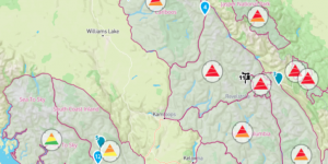
Modelling Avalanche Risk Using ERA-5 Climate Data and Multiple Linear Regression

EOSC 410 - Term Project:
The capstone assignment for this data science course involved investigating a research question using publicly available data and analyzing this data in Python using the skills we learned throughout the term.

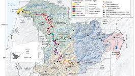
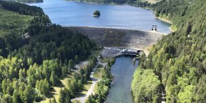
Using the Horton Index to Describe Catchment-Scale Evapotranspiration: A case study of the Umpqua River Catchment, Oregon

ENVR 420 - Lab Assignment:

In this project, I used hydrological and land-cover data from a watershed in Oregon, USA, to evaluate how patterns of hydrological partitioning are influencing catchment scale evapotranspiration. Data was collected from the MOPEX dataset online, processed and analyzed in R-Studio.


Comparing Different Methodologies for Quantifying Evapotranspiration: A case study in Southwestern British Columbia

ENVR 420 - Lab Assignment:

The purpose of this report was to compare the different methods for measuring daily evapotranspiration in a watershed near Campbell River, BC. Hourly streamflow, groundwater level, evapotranspiration, precipitation, and temperature data were collected and then later processed using R programming software.


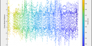
Standard Deviation of Streambed Elevation Profiles as a Method to Quantify Channel Bed Roughness and its Relationship to Channel Stability: A case study for a small mountain creek in Southwestern British Columbia

GEOB 406 - Term Project:
This course gave me the unique opportunity to do a research project using data collected for an ongoing project in the Department of Geographical Sciences. I was tasked with performing my own analysis and writing a full scientific report on my findings.


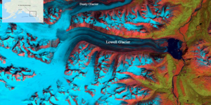
Relative Annual Mass Balance and its Connection to Surge Events on Lowell Glacier, Yukon, Canada

GEOB 408 - Term Project:

As my final project for the course, I conducted research on the Lowell Glacier in the Yukon Territory. My goal was to examine the relationship between glacier mass balance and surging events. This involved tracking ELA of the Lowell Glacier over time using LANDSAT imagery in conjunction with elevation data, as well as previously published work using ArcGIS.


Brought to you and supported by UBC Arts ISIT


TERMS OF SERVICE